

90折
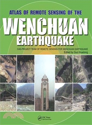
Atlas of Remote Sensing of the Wenchuan Earthquake: Cas- Project Team of Remote Sensing for Wenchuan Earthquake
- ISBN13:9781439816745
- 出版社:CRC Press UK
- 作者:Guo Huadong (EDT); Zhang Bing (EDT); Wang Jiesheng (EDT); Dong Qing (EDT)
- 裝訂/頁數:精裝/259頁
- 規格:27.9cm*25.4cm*2.5cm (高/寬/厚)
- 出版日:2009/09/16
定 價:NT$ 12350 元
優惠價:90 折 11115 元
若需訂購本書,請電洽客服 02-25006600[分機130、131]。
相關商品
商品簡介
目次
商品簡介
In May 12, 2008, the Wenchuan County earthquake caused devastating loss of human life and property. Applying all the remote sensing technology available, the Chinese Academy of Sciences immediately launched into action, making full use of its state-of-the-art facilities, remote sensing planes, and satellites to amass invaluable optical and radar data. This unprecedented use of comprehensive remote sensing techniques provided accurate, up to the minute information for disaster management and has left us with a visually stunning and beautiful record that is as much a scientific achievement as it is an artistic one.
Based on the accumulated data and images collected by the Project Team of Remote Sensing Monitoring and Assessment of the Wenchuan Earthquake, Atlas of Remote Sensing of the Wenchuan Earthquake documents the events as they happened in real time. The book covers the disaster from six aspects: geological, barrier lakes, collapsed buildings, damaged roads, destroyed farmland and forests, and demolished infrastructure. It also demonstrates that the Dujiangyan Irrigation Project, which has been standing for 2000 years, remains fully functioning, and keeps the Chengdu Plain operating optimally even after the earthquake.
Translated into English for the first time, the Atlas presents a pictorial summation of this unique project. It chronicles the event with over 280 before and after color images from a range of perspectives. This volume dramatically demonstrates the value of remote sensing for understanding how an earthquake unfolds and the potential of remote sensing in helping coordinate emergency relief. A pictorial record of events as they unfolded, this book provides a systematic documentation of earthquake damage that can be used to prepare for future seismic events.
目次
Remote Sensing DataGeological DisastersBarrier LakesCollapsed Buildings and HousesDamaged RoadsDestroyed Farmlands and ForestsDemolished InfrastructureContinuing Civilization


您曾經瀏覽過的商品

購物須知
外文書商品之書封,為出版社提供之樣本。實際出貨商品,以出版社所提供之現有版本為主。部份書籍,因出版社供應狀況特殊,匯率將依實際狀況做調整。
無庫存之商品,在您完成訂單程序之後,將以空運的方式為你下單調貨。為了縮短等待的時間,建議您將外文書與其他商品分開下單,以獲得最快的取貨速度,平均調貨時間為1~2個月。
為了保護您的權益,「三民網路書店」提供會員七日商品鑑賞期(收到商品為起始日)。
若要辦理退貨,請在商品鑑賞期內寄回,且商品必須是全新狀態與完整包裝(商品、附件、發票、隨貨贈品等)否則恕不接受退貨。