• Waterproof • Tear-Resistant • Travel MapColorado uses Game Management Units (GMUs) to describe hunting boundaries. National Geographic has created Map Pack bundles to aid hunters with
• Waterproof • Tear-Resistant • Topographic MapThe Calf Mountain to Raven Rock Topographic Map Guide makes a perfect traveling companion when traversing the northern Virginia section of
• Waterproof • Tear-Resistant • Topographic Map GuideNational Geographic's Trails Illustrated map of the Adirondack Park, Northville-Placid Trail combines unmatched detail with helpful information to
• Waterproof • Tear-Resistant • Topographic MapColorado has the highest mean elevation of any state in the United States. It’s home to 58 mountain peaks higher than 14,000 feet—more tha
‧ Waterproof ‧ Tear-Resistant ‧ Topographic MapIn the spring of 1996 wildfire roared through the Buffalo Creek area. Soon after a group of dedicated mountain bikers, working the US Forest Service, sta
‧ Waterproof ‧ Tear-Resistant ‧ Topographic MapSeeking the best combination of detailed maps and value for your trip to the Yellowstone and Grand Teton area, then get our bundle pack. It includes both
‧ Waterproof ‧ Tear-Resistant ‧ Topographic MapSeeking the best combination of detailed maps and value for your trip to South Dakota's Black Hills, then get our bundle pack. It includes both Black Hil
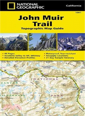
‧ Waterproof ‧Tear-Resistant ‧Topographic Map GuideNational Geographic's Map Guide of the John Muir Trail is an indispensable tool for navigating one of the most famous trails in the United States. Ex
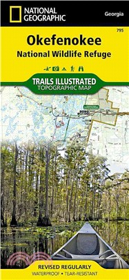
‧ Waterproof ‧ Tear-Resistant ‧ Topographic MapNational Geographic's Trails Illustrated map of Okefenokee National Wildlife Refuge is a two-sided, waterproof map designed to meet the needs of outdoor
‧ Waterproof ‧ Tear-Resistant ‧ Topographic MapNational Geographic's Trails Illustrated map of Big Sur / Ventana Wilderness - Los Padres National Forest is a two-sided, waterproof map designed to meet
• Waterproof • Tear-Resistant • Topographic MapThe Washington South Topographic Map Guide follows the Pacific Crest Trail (PCT) as it travels through a landscape dotted with lakes, pere
• Waterproof • Tear-Resistant • Topographic MapCompletely revised and expanded our Colorado National Monument Trails Illustrated map details the high use recreation areas throughout Colorado's Grand V
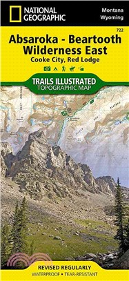
• Waterproof • Tear-Resistant • Topographic MapNational Geographic's Trails Illustrated map of Absaroka-Beartooth Wilderness East delivers unmatched detail and valuable information to a
• Waterproof • Tear-Resistant • Topographic MapNational Geographic's Trails Illustrated map of Absaroka-Beartooth Wilderness West is a two-sided, waterproof, topographic trail map designed to meet the
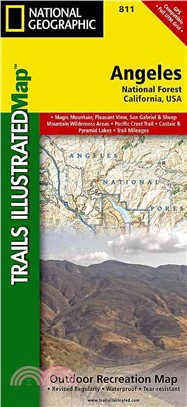
‧ Waterproof ‧ Tear-Resistant ‧ Topographic MapNational Geographic's Trails Illustrated map of Angeles National Forest is a two-sided, waterproof map designed to meet the needs of outdoor enthusiasts
• Waterproof • Tear-Resistant • Topographic Map GuideThe Schaghticoke Mountain to East Mountain Topographic Map Guide makes a perfect traveling companion when traversing the Connecticut and Massachuse
‧ Waterproof ‧ Tear-Resistant ‧ Topographic MapSeeking the best combination of detailed maps and value for your Great Smoky Mountains National Park trip, then get our bundle pack. It includes three Gr
• Waterproof • Tear-Resistant • Topographic MapExpertly researched and created in cooperation with the U.S. Forest Service, Michigan Department of Natural Resources and others, National