This engaging activity book builds English skills through rewarding and motivating activities designed to give children a real sense of achievement, boosting their confidence and developing good learn
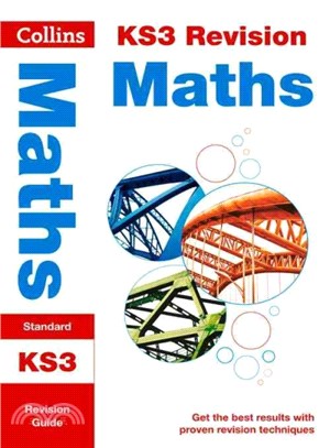
Clear and concise revision notes, plus five practice opportunities for every topic:• quick tests to check understanding• end of topic practice questions• topic review questions later in book• mixed pr
This popular guide covers the canals and waterways around Birmingham and the River Severn. Color Ordnance SurveyR maps clearly show locks, towpaths and boating facilities. There are also comprehensive
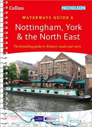
This popular guide covers the canals and waterways between York and the River Trent south of Nottingham. Color ordnance SurveyR maps clearly show locks, towpaths and boating facilities. There are also
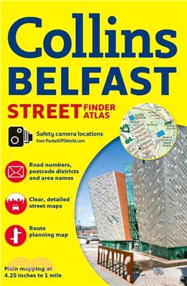
With a scale of 4.25 inches to 1 mile, this handy full color atlas has clear street level mapping presented in an easy to use handy format. Features include a route-planning road map of the area aroun
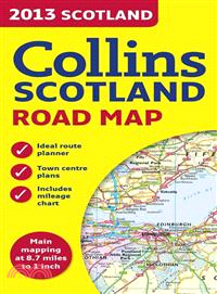
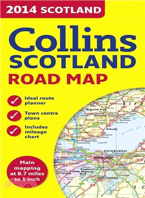
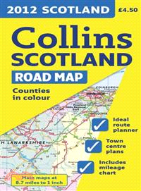
Full colour map of Scotland at 8.7 miles to 1 inch (1:550,000) with clear, detailed road network and administrative areas shown in colour. The map covers the whole of Scotland and part of Northern Eng
This color map of Scotland at 9 miles to 1 inch (1:550,000 approximately) features clear, detailed road network and administrative areas shown in color. In addition to this it has 7 city and town cent
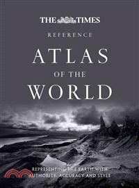
A new edition of this comprehensive atlas from the prestigious and authoritative Times Atlas rangeContaining the latest satellite images and fascinating historical images, this edition has been brough
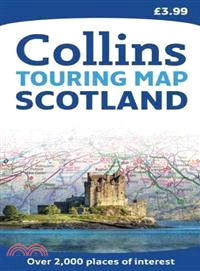
Scale: 1:316,800 (5 miles to 1 inch). This popular touring map has a huge amount of detail with places of tourist interest plotted and named on the map. Fully updated for 2010. A clear, easy to follow
Full color map of Scotland at 9 miles to 1 inch with clear, detailed road network and administrative areas shown in color. This popular map has clear political coloring with administrative areas shown
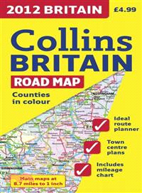
Full color double-sided map of Great Britain at 9 miles to 1 inch with clear, detailed road network and administrative areas shown in color?A?general purpose map for business users and tourists, this
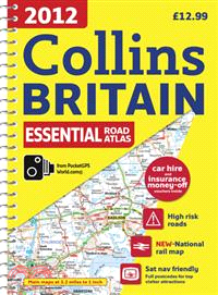
This handy-sized spiral road atlas covers the whole of Britain at a selection of useful scales?This road atlas with popular lie-flat spiral binding features clear, detailed road mapping, at a scale of
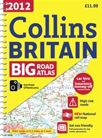
Fully updated road mapping covers the whole of Britain, with each scale of mapping color-coded for ease of use?The ultimate 3.2 miles to 1 inch scale large format road atlas for the year 2012 features
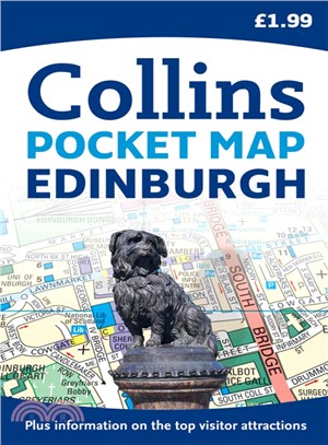
Handy pocket sized map of central Edinburgh, ideal for visitors to this beautiful city. The map is fully indexed and there is also information on some of the best places to visit, all fully cross-refe
Scale: 6.5 miles to 1 inch 1:412,000. Full colour general purpose map. It has layer colouring to show land height, places of tourist interest and a selection of town and city centre maps complete wit
Scale: 4.9 miles to 1 inch 1:310,000. This clear, colourful road map has been fully updated for this edition. Includes tourist information along with a comprehensive range of settlements. There is al
A new and extended edition of a vital tool for students, with new topics including world agriculture, world climate change, low and middle economic developing countries, and?ecological footprint?Altho
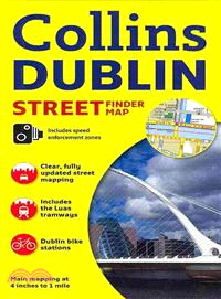
Explore the exciting city of Dublin with this detailed, fully updated color map. The map, at a scale of 4 inches to 1 mile (1:15,840), has clear, color-classified streets named and numbered, plus plac
Complete with information on places of tourist interest, this handy format route planning atlas in full color also features fully indexed town center plans of Belfast, Cork, Dublin, Galway, Limerick,
With information on kids’ food, fast food, and family favorites, thisone-stop, at-a-glance referencewill help youincorporate calorie counting easily into your everyday life. C