Excellent value for money, this book contains all the content and questions from our KS3 revision guide, plus lots of extra practice. Based on research that proves repeated practice is more effectiv
Excellent value for money, this book contains all the content and questions from our KS3 revision guide, plus lots of extra practice. Based on research that proves repeated practice is more effectiv
Excellent value for money, this book contains all the content and questions from our KS3 revision guide, plus lots of extra practice. Based on research that proves repeated practice is more effectiv
Covering a wealth of fascinating subjects, this remarkable reference provides A-to-Z entries along with a variety of engrossing illustrations. Ranging from alphabets and musical symbols to weapons and
This All-in-One Revision and Practice book is excellent value for money. It contains all the material from our revision guide, plus lots of extra practice to guarantee the best results.
Clear and concise revision notes, plus five practice opportunities for every topic:• quick tests to check understanding• end of topic practice questions• topic review questions later in book• mixed pr
This popular guide covers the canals and waterways around Birmingham and the River Severn. Color Ordnance SurveyR maps clearly show locks, towpaths and boating facilities. There are also comprehensive
A new and extended edition of a vital tool for students, with new topics including world agriculture, world climate change, low and middle economic developing countries, and?ecological footprint?Altho
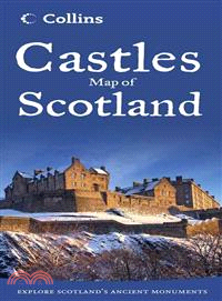
More than 800 castles and fortified houses across Scotland are located and identified in this easy-to-use atlas that features an index listing visitor information and attractive illustrations. Basic
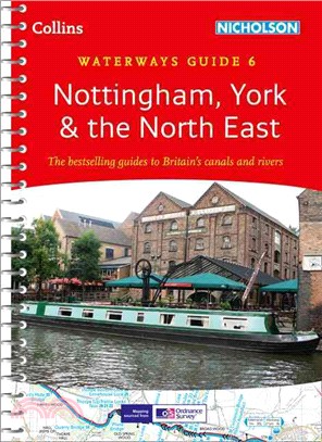
This popular guide covers the canals and waterways between York and the River Trent south of Nottingham. Color ordnance SurveyR maps clearly show locks, towpaths and boating facilities. There are also
A slipcase containing three pocket-sized maps and guides: Whisky, Castles, and Clans and Tartans Perfect for visitors who want to capture the essence of Scotland, this box contains three booklets with
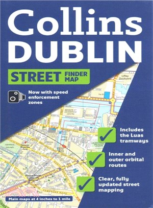
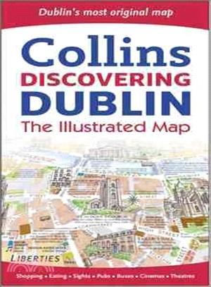
Full color map of Dublin with street level detail and full index to street names. For 2009 the map shows speed enforcement zones and cameras. The map has clear, color-classified streets named and numb
National 5 Physics Practice Papers for SQA Exams will help you to prepare for the look and feel of the exam. All the papers will provide extensive practice and reflect the type and level of questions
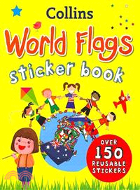
An educational activity book packed with colorful illustrations, photographs, and reusable stickersEncouraging young children to identify national and international flags, each flag in this book is li
This engaging activity book builds English skills through rewarding and motivating activities designed to give children a real sense of achievement, boosting their confidence and developing good learn
This engaging activity book builds English skills through rewarding and motivating activities designed to give children a real sense of achievement, boosting their confidence and developing good learn
This engaging activity book builds English skills through rewarding and motivating activities designed to give children a real sense of achievement, boosting their confidence and developing good learn
This engaging activity book builds English skills through rewarding and motivating activities designed to give children a real sense of achievement, boosting their confidence and developing good learn
This engaging activity book builds English skills through rewarding and motivating activities designed to give children a real sense of achievement, boosting their confidence and developing good learn
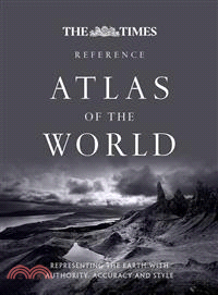
A new edition of this comprehensive atlas from the prestigious and authoritative Times Atlas rangeContaining the latest satellite images and fascinating historical images, this edition has been brough
This unique and innovative coursebook supports all learning styles so that every student can achieve the best results. Combining visual information, audio material and hands-on activities, it provides
Featuring over 700 castles and fortified houses, this pictorial map comes complete with an easy-to-use index listing visitor information and an attractive selection of photographs. The index comprises
The Collins Spurrell Pocket Welsh Dictionary offers the user excellent coverage of today’s language. Color layout and clear presentation of information make this compact book ideal for all English and
This product displays delightful water-color mapping, with individual paintings of all the main sights and landmarks in Dublin. It includes extra large scale maps of the Temple Bar and Grafton Street
A concise and excellent guide to Scottish history and how Scotland has come to be the country it is todayFrom prehistoric Scotland to the 2014 referendum for independence, this little book covers all
This map is popular with walkers and visitors to the Lake District, featuring detailed layer-colored mapping on one easy-to-use sheet. The attractive layer tints, contour lines, and spot heights give
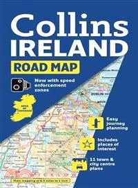
Full color map of Ireland at 9 miles to 1 inch, with clear, detailed road network and counties and administrative areas shown in color. Main Features: This popular map has clear political colouring wi
This updated?guide?includes such essential information as emergency contact numbers; the best way to get around; the best places to shop and visit; where to go for live music, the cinema, and concerts
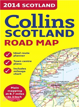
This color map of Scotland at 8.7 miles to 1 inch(1:550,000 approximately) features clear, detailed road network and administrative areas shown in color. In addition to this it has seven city and town
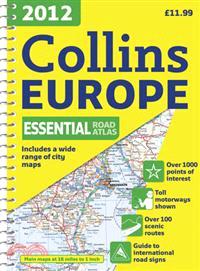
This?fully revised edition of the A4 spiral road atlas contains road mapping, route planning maps, larger scale road maps of the Ruhr and Rhine, city through route maps, city center plans, and a compr
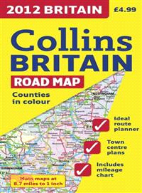
Full color double-sided map of Great Britain at 9 miles to 1 inch with clear, detailed road network and administrative areas shown in color?A?general purpose map for business users and tourists, this
Maps in this atlas?are exceptionally clear and easy to use with color coding for both the roads as well as locations such as?shops, hospitals, hotels, schools, and more.?They include postal district b
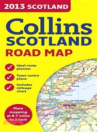
This color map of Scotland at 9 miles to 1 inch (1:550,000 approximately) features clear, detailed road network and administrative areas shown in color. In addition to this it has 7 city and town cent
Scale: 6.5 miles to 1 inch 1:412,000. Full colour general purpose map. It has layer colouring to show land height, places of tourist interest and a selection of town and city centre maps complete wit
Full colour map of Scotland at 8.7 miles to 1 inch (1:550,000) with clear, detailed road network and administrative areas shown in colour. The map covers the whole of Scotland and part of Northern Eng
Inside this little book, you will discover all the hints and top tips for all day, everyday success with Bananagrams We all want to get one over on our friends and family when we play Bananagrams. M
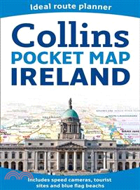
Handy little full color map of Ireland. It is double-sided with the south of Ireland up to and including Dublin on one side and from Dublin northwards on the reverse. Ideal for the pocket, bag, or glo
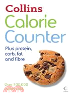
With information on kids’ food, fast food, and family favorites, thisone-stop, at-a-glance referencewill help youincorporate calorie counting easily into your everyday life. C