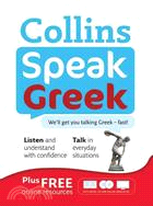
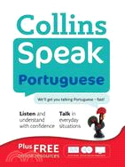
This contemporary and fresh reference is divided into three sections that encourage an understanding of the language beyond memorizing simple phrases. The first section presents full, natural conversa
This contemporary and fresh reference is divided into three sections that encourage an understanding of the language beyond memorizing simple phrases. The first section presents full, natural conversa
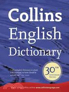
Marking the 30th anniversary of the first edition's publication,?this new edition is updated with the latest terms to enter the English language. Comprehensive and authoritative,?this reference?also o
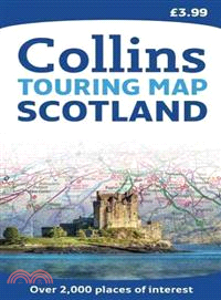
The official map of Scotland, published in association with Scotland's national tourist authority, Visit Scotland. A comprehensive map showing the locations of over 1700 places to visit and things to
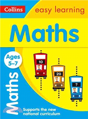
This practice book will build essential skills through activity-packed fun. The activities are designed to give children a real sense of achievement. This helps to boost their confidence and develop
This practice book will build essential skills through activity-packed fun. The activities are designed to give children a real sense of achievement. This helps to boost their confidence and develop
This practice book will build essential skills through activity-packed fun. The activities are designed to give children a real sense of achievement. This helps to boost their confidence and develop
This practice book will build essential skills through activity-packed fun. The activities are designed to give children a real sense of achievement. This helps to boost their confidence and develop
This practice book will build essential skills through activity-packed fun. The activities are designed to give children a real sense of achievement. This helps to boost their confidence and develop
This official map of Scotland is published in association with Scotland's national tourist authority, Visit Scotland. A comprehensive map showing the locations of more than 1700 places to visit and th
This revision guide is matched to the new Key Stage 3 Programme of Study for Geography. It contains clear and accessible explanations of all the essential content, with lots of practice opportunities
This All-in-One Revision and Practice book is excellent value for money. It contains all the material from our revision guide, plus lots of extra practice to guarantee the best results.
Excellent value for money, this book contains all the content and questions from our KS3 revision guide, plus lots of extra practice. Based on research that proves repeated practice is more effectiv
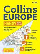
Scale: 1:2,000,000 Handy road atlas of Europe at A5 format with lie-flat spiral binding. Ideal format for both drivers and those travelling by public transport. Scenic routes are plotted on
This revision guide is matched to the new Key Stage 3 Programme of Study for English. It contains clear and accessible explanations of all the essential content, with lots of practice opportunities fo
This revision guide is matched to the new Key Stage 3 Programme of Study for science. It contains clear and accessible explanations of all the essential content, with lots of practice opportunities fo
This revision guide is matched to the new Key Stage 3 Programme of Study for History. It contains clear and accessible explanations of all the essential content, with lots of practice opportunities fo
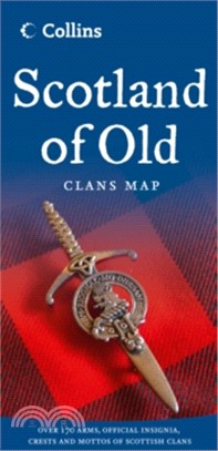
The Collins Scotland of Old Clans Map is a unique pictorial map showing the ancient territories of the principal Scottish clans in the 17th century, and features Don Pottinger's (Islay Herald of Arms)
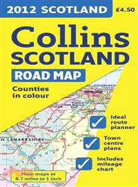
Full color map of Scotland at 9 miles to 1 inch with clear, detailed road network and administrative areas shown in color. This popular map has clear political coloring with administrative areas shown
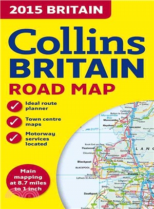
This full color double-sided map of Great Britain at 9 miles to 1 inch (1:550,000 approximately) has clear, detailed road network and administrative areas shown in color. With its political coloring o
An ideal reference for anyone traveling around Scotland who requires a handy formatThe easy-to-use format and inclusion of a range of city plans make this the ideal companion for traveling around Scot
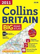
The ultimate 3.2 miles to 1 inch scale large format road atlas for the year 2011 features Collins' popular and well-established road mapping, designed for exceptional clarity.?A wide range of urban ar
Incredibly detailed street level maps, with?more than?40 categories of information, cover 1,660 square miles in and around London.?Extra large scale central London maps at 6.3 inches to 1 mile make fo
Every major European country is covered in this fully updated road atlas that features a ratio of 34 miles to one inch. Euroroutes and highways are clearly identified as are all international road cla
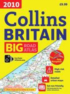
The ultimate 3.2 miles to 1 inch scale large format road atlas for the year 2010 features Collins' popular and well established road mapping, designed for exceptional clarity.?A wide range of urban ar
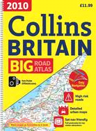
Presented with lie-flat spiral binding, this is the ultimate 3.2 miles to 1 inch scale large format road atlas for the year 2010. Collins' popular and well established road mapping is designed for exc
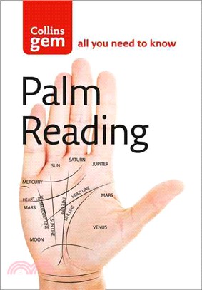
With easy-to-follow diagrams accompanying clear and concise text, this book lays bare the complexities of hand reading. The book provides an introduction to how to read palms so that a beginner will s
This workbook supports the new Key Stage 3 Programme of Study for Maths, providing focused skills practice for all the topics relevant to students in Year 8. It will help to reinforce key skills and b
This workbook supports the new Key Stage 3 Programme of Study for Maths, providing focused skills practice for all the topics relevant to students in Year 9. It will help to reinforce key skills and b
This revision guide is matched to the new Key Stage 3 Programme of Study for Maths. It is intended for students who need to be challenged by more advanced material. It contains clear and accessible ex
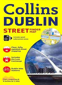
Explore the exciting city of Dublin with this detailed, fully updated color map. The map, at a scale of 4 inches to 1 mile (1:15,840), has clear, color-classified streets named and numbered, plus plac
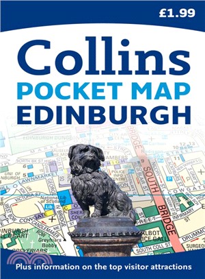
Handy pocket sized map of central Edinburgh, ideal for visitors to this beautiful city. The map is fully indexed and there is also information on some of the best places to visit, all fully cross-refe
Ideal for pocket or purse, this handy little street atlas covers a large area of central London at a clear and easy to read scale. The pages have striking colored page edges to highlight the different
This route-planning map is extremely easy to use as it opens almost like a book. It has lamination on both sides, making it very hard wearing, and is presented in a plastic wallet. This durable lamina
Scale: 1:316,800 (5 miles to 1 inch). This popular touring map has a huge amount of detail with places of tourist interest plotted and named on the map. Fully updated for 2010. A clear, easy to follow
At a scale of 3.62 inches to 1 mile, this is clear and easy to read yet very detailed London map to cover all eventualities. It has a large area of coverage but is presented in a handy compact format.
Fully updated, this atlas features?maps of Britain at 9.9 miles to 1 inch and the whole of Ireland is covered at 15.8 miles to 1 inch. There?is also a selection of more detailed urban area maps at 4.5
A brand new range of practical little walk guides endorsed by the Ramblers. All the walks are five miles or under in length and can easily be completed in less that 3 hours. Twenty walks are included
Also available nonlaminated, this world map is perfect for an classroom, bedroom, or office wallA new and updated laminated edition, this ideal reference map covering the whole world shows the politic
A wealth of tourist information, extremely clear and attractive mapping, and detailed town center plans make this an essential purchase for visitors With attractive road mapping of the whole of Irelan