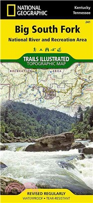
‧ Waterproof ‧ Tear-Resistant ‧ Topographic MapThis Trails Illustrated topographic map for Big South Fork National River and Recreation Area in southern Kentucky and northern Tennessee is the perfect
‧ Waterproof ‧ Tear-Resistant ‧ Topographic MapCoverage of the Tuolomne Meadows and Hoover Wilderness area of Yosemite National Park includes Ansel Adams Wilderness, Yosemite Wilderness, Mono Basin Na
‧ Waterproof ‧ Tear-Resistant ‧ Topographic MapCoverage of the Yosemite Valley and Wawona area of Yosemite National Park includes Sierra National Forest, Yosemite Wilderness, Stanislaus National Fores
‧ Waterproof ‧ Tear-Resistant ‧ Topographic MapCoverage of the Yosemite Valley and Wawona area of Yosemite National Park includes Sierra National Forest, Yosemite Wilderness, Stanislaus National Fores
‧ Waterproof ‧ Tear-Resistant ‧ Topographic MapCoverage includes Boulder County Open Space Parks, City of Boulder County Open Space and Mountain Parks, Jefferson County Open Space Parks, Eldorado and
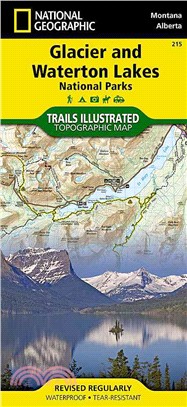
‧ Waterproof ‧ Tear-Resistant ‧ Topographic MapWaterton Lakes National Park includes Waterton Park, Upper and Middle Waterton Lakes, The Border Ranges, Akamina Kishinena Provincial Park, Blood Timber
‧ Waterproof ‧ Tear-Resistant ‧ Topographic MapJam packed with over 500 miles of single-track and multi-use trails, our new National Geographic Trails Illustrated map for the mountain biking mecca of
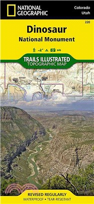
‧ Waterproof ‧ Tear-Resistant ‧ Topographic MapThis Trails Illustrated topographic map for Dinosaur National Monument, which straddles the state lines of northwest Colorado and northeast Utah, is the
‧ Waterproof ‧ Tear-Resistant ‧ Topographic MapLocated just outside of Portland, Mt. Hood is the tallest peak in Oregon, the fourth highest in the Cascade Range, and a premier destination for outdoor
‧ Waterproof ‧ Tear-Resistant ‧ Topographic MapCoverage of the Tuolomne Meadows and Hoover Wilderness area of Yosemite National Park includes Ansel Adams Wilderness, Yosemite Wilderness, Mono Basin Na
‧ Waterproof ‧ Tear-Resistant ‧ Topographic MapCoverage includes Pisgah National Forest; Shining Rock and Middle Prong wilderness areas; Bent Creek Research and Demonstration Forest; North Carolina Ar
‧ Waterproof ‧ Tear-Resistant ‧ Topographic MapThis two-sided map includes Black Canyon National Park in its entirety, and Gunnison Gorge Wilderness, and portions of Gunnison Gorge National Conservati
‧ Waterproof ‧ Tear-Resistant ‧ Topographic MapCoverage includes Rio Grande and San Juan national forests; South San Juan Wilderness; Dipping Lakes and Spiler Lakes; Lost Lake; Platoro and Fuchs Reser
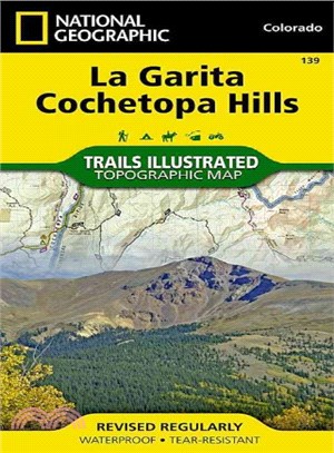
‧ Waterproof ‧ Tear-Resistant ‧ Topographic MapCoverage includes San Isabel, Gunnison and Rio Grande National Forests; La Garita Wilderness; Cochetopa Hills; Cebolla Creek State Wildlife Area; Dome La
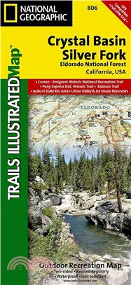
• Waterproof • Tear-Resistant • Topographic MapNational Geographic’s Trails Illustrated map of Crystal Basin and Silver Fork covers the Eldorado National Forest, from its northern bound
‧ Waterproof ‧ Tear-Resistant ‧ Topographic MapTrails are classified by use - hiking, horse and hike, mountain bike, shared use, or motorized - and includes a trail chart showing trail name, location,
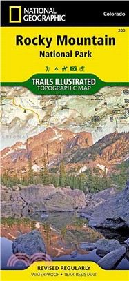
‧ Waterproof ‧ Tear-Resistant ‧ Topographic MapCoverage includes Rocky Mountain National Park, Arapaho and Roosevelt National Forest, Never Summer Wilderness, Arapaho National Recreation Area, and the
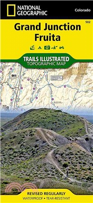
‧ Waterproof ‧ Tear-Resistant ‧ Topographic MapCompletely revised and expanded our Colorado National Monument Trails Illustrated map details the high use recreation areas throughout Colorado's Grand V
‧ Waterproof ‧ Tear-Resistant ‧ Topographic MapThis Trails Illustrated topographic map for Arizona's Saguaro National Park and surrounding areas to the east and west of Tucson, is the perfect map for
‧ Waterproof ‧ Tear-Resistant ‧ Topographic MapThis map is updated to reflect road closings, new trails, and campground relocation, and includes detailed trail information, points of interest, trailhe
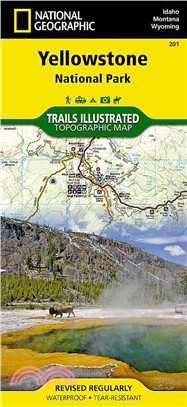
Detailed and accurate coverage for Yellowstone National Park. Includes a detailed road network and popular trails, complete with use restrictions, mileages, elevation gains, and difficulty ratings. Po
‧ Waterproof ‧ Tear-Resistant ‧ Topographic MapTrails Illustrated Merced and Tuolumne Rivers is the third of five exciting new maps for the California Sierra Nevadas that will combine to form seamless
‧ Waterproof ‧ Tear-Resistant ‧ Travel MapThe front side features a large-scale city map, richly layered with tourist and business travel locations and information. 3-D styled drawings show famous bui
‧ Waterproof ‧ Tear-Resistant ‧ Travel MapThe front side is an easy-to-read road map with insets of: - Eugene The back includes: - Maps and information for Portland and Salem - Information for Crate L
‧ Waterproof ‧ Tear-Resistant ‧ Travel MapIn addition to the easy-to-read map on the front, the back includes a regional map , top attractions, airport diagram, inset maps for downtown Orlando and the
• Waterproof • Tear-Resistant • Topographic MapCoverage includes the Pike and San Isabel national forests, Buffalo Peaks Wilderness Area, and the cities of Fairplay, Leadville, Malta, and Granite. Als
• Waterproof • Tear-Resistant • Topographic MapNational Geographic?s Trails Illustrated map of Big South Fork National River and Recreation Area is a perfect guide for all recreation ac
‧ Waterproof ‧ Tear-Resistant ‧ Topographic MapCoverage includes San Juan National Forest. Mesa Verde National Park, McPhee Reservoir and Recreation Area, House Creek Recreation Area, Durango Mountain
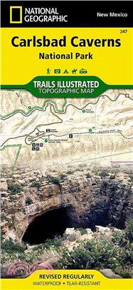
‧ Waterproof ‧ Tear-Resistant ‧ Topographic MapThis two-sided map shows two worlds - the beautiful landscape in and around Carlsbad National Park and Wilderness area on one side, with the other side s
‧ Waterproof ‧ Tear-Resistant ‧ Topographic MapThis Trails Illustrated map for Gates of the Arctic National Park and Preserve and surrounding area in northern Alaska is perfect for hiking, camping, ex
‧ Waterproof ‧ Tear-Resistant ‧ Topographic MapCoverage includes George Washington and Jefferson National Forest. Towns: Lexington, Buena Vista, Waynesboro, Bedford, Blue Ridge. Wilderness Areas: The
‧ Waterproof ‧ Tear-Resistant ‧ Topographic MapCoverage includes Routt National Forest, Mt Zirkel Wilderness, and Pearl Lake and Steamboat Lake state parks. Also includes the cities of Hahns Peak and
‧ Waterproof ‧ Tear-Resistant ‧ Topographic MapCoverage includes Arapaho and Routt national forests, Sarvis Creek Wilderness, Stagecoach Reservoir State Park, and the cities of Steamboat Springs, Oak
‧ Waterproof ‧ Tear-Resistant ‧ Travel MapIn addition to the easy-to-read map on the front, the back includes: - Regional map - Points of interest - Inset maps of Lower Manhattan and Midtown - Subway
‧ Waterproof ‧ Tear-Resistant ‧ Travel MapIn addition to the easy-to-read map on the front, the back includes: - Regional map - Points of interest - Metrorail and Metromover maps - Airport diagrams fo
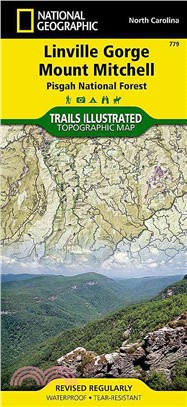
• Waterproof • Tear-Resistant • Topographic MapExpertly researched and created in partnership with local land management agencies, National Geographic's Trails Illustrated map of Linville Gorge and Mo
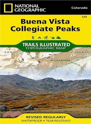
‧ Waterproof ‧ Tear-Resistant ‧ Topographic MapCoverage includes Gunnison and San Isabel national forests; Collegiate Peaks Wilderness; the cities of Buena Vista, Princeton, Rockdale and Winfield; Cot
‧ Waterproof ‧ Tear-Resistant ‧ Topographic MapCoverage includes Pike National Forest; Beaver Creek and McIntyre Hills Wilderness Study Area; Mueller State Park; Florissant Fossil Beds National Monume