GIS and Cartographic Modeling is a foundational work in the field of geographic information systems (GIS). An introduction to the concepts, conventions, and capabilities of map algebra as a general la
Twenty-three stories about how ordinary girls with very different passions have become extraordinary women and made significant contributions to our worldWomen look to other women as role models and f
Eighteen stories about how ordinary girls with very different passions have become extraordinary women and made significant contributions to our worldWomen look to other women as role models and for i
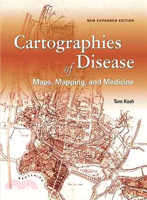
Cartographies of Disease: Maps, Mapping, and Medicine is a comprehensive survey of the technology of mapping and its relationship to the battle against disease. This look at medical mapping advances t
Census workers need to capture and analyze information at the finest geographic level with mobile and geospatial-based technology. GIS and the 2020 Census: Modernizing Official Statistics provides sta
The basis for most maps is imagery. Imagery and GIS: Best Practices for Extracting Information from Imagery shows how imagery can be integrated successfully into maps and GIS projects. Readers will le
This book describes the why and how of green infrastructure (GI) mapping and implementation through text, maps and on-line illustrations. It explains how to utilize the national green infrastructure
Applications for geographic information systems, more commonly referred to as GIS, have grown significantly in recent years. This book by Esri writer Mitchell is the third volume in a series and expla
This book helps you understand and use Web GIS, a powerful mapping technology that is transforming the way we apply and share geographic information. Each "big idea" is part of the ArcGIS platform and
Steinitz (emeritus, landscape architecture and planning, Harvard U.) describes the procedures he created for implementing geodesign, the practice of integrating geographic features and information int
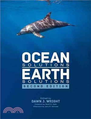
What affects the oceans affects terra firma. Ocean Solutions, Earth Solutions gathers the insights of more than 60 ocean and coastal science researchers exploring ocean components and their relationsh
"Getting to Know ArcGIS® Desktop, fifth edition, is a comprehensive introduction to the features and tools of ArcGIS Desktop. Through hands-on exercises, readers will discover, use, make, and share ma
Explore how imagery and remote sensing power modern GIS. With The ArcGIS Imagery Book, you will roll up your sleeves and quickly begin putting imagery to smarter, more skillful use with your GIS. Even