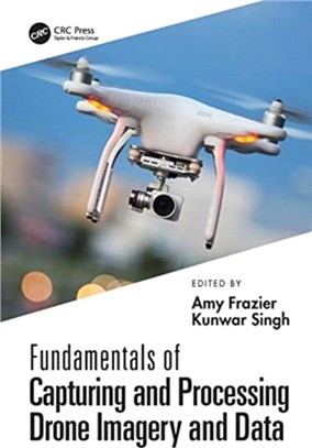
Fundamentals of Capturing and Processing Drone Imagery and Data
商品資訊
ISBN13:9780367245726
出版社:CRC Pr I Llc
出版日:2021/07/27
裝訂/頁數:精裝/380頁
規格:17.4cm*24.6cm (高/寬)
定價
:NT$ 6300 元若需訂購本書,請電洽客服 02-25006600[分機130、131]。
商品簡介
相關商品
商品簡介
Unmanned aircraft systems (UAS) are rapidly emerging as flexible platforms for capturing imagery and other data across the sciences. Many colleges and universities are developing courses on UAS-based data acquisition. Fundamentals of Capturing and Processing Drone Imagery and Data is a comprehensive, introductory text on how to use unmanned aircraft systems for data capture and analysis.
It provides best practices for planning data capture missions and hands-on learning modules geared toward UAS data collection, processing, and applications. FEATURESLays out a step-by-step approach to identify relevant tools and methods for UAS data/image acquisition and processingProvides practical hands-on knowledge with visual interpretation, well-organized and designed for a typical 16-week UAS course offered on college and university campusesSuitable for all levels of readers and does not require prior knowledge of UAS, remote sensing, digital image processing, or geospatial analyticsIncludes real-world environmental applications along with data interpretations and software used, often nonproprietaryCombines the expertise of a wide range of UAS researchers and practitioners across the geospatial sciencesThis book provides a general introduction to drones along with a series of hands-on exercises that students and researchers can engage with to learn to integrate drone data into real-world applications. No prior background in remote sensing, GIS, or drone knowledge is needed to use this book.
Readers will learn to process different types of UAS imagery for applications (such as precision agriculture, forestry, urban landscapes) and apply this knowledge in environmental monitoring and land-use studies.
主題書展
更多
主題書展
更多書展今日66折
您曾經瀏覽過的商品
購物須知
外文書商品之書封,為出版社提供之樣本。實際出貨商品,以出版社所提供之現有版本為主。部份書籍,因出版社供應狀況特殊,匯率將依實際狀況做調整。
無庫存之商品,在您完成訂單程序之後,將以空運的方式為你下單調貨。為了縮短等待的時間,建議您將外文書與其他商品分開下單,以獲得最快的取貨速度,平均調貨時間為1~2個月。
為了保護您的權益,「三民網路書店」提供會員七日商品鑑賞期(收到商品為起始日)。
若要辦理退貨,請在商品鑑賞期內寄回,且商品必須是全新狀態與完整包裝(商品、附件、發票、隨貨贈品等)否則恕不接受退貨。


