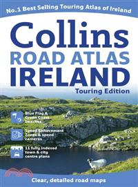
A wealth of tourist information, extremely clear and attractive mapping, and detailed town center plans make this an essential purchase for visitors?With attractive road mapping of the whole of Irelan
Packed with amazing colorful maps, this amazing atlas will provide fun to young explorers and adventurers A balanced mix of colorful maps, stickers, and facts combine to make this atlas a perfect comb
This new edition of the annually revised, politically colored map of Europe is the ideal map for planning and route-finding, from the North Cape to Gibraltar and from Ireland to east of Moscow.
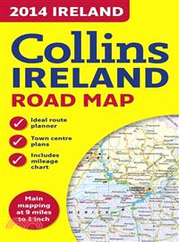
This color map of Ireland at 9 miles to 1 inch (1:570,240), features clear, detailed road network and counties and administrative areas shown in color. This double-sided map covers the whole of Irelan
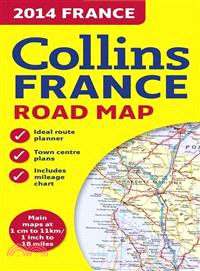
This new edition of the annually revised, politically colored map of France is the ideal map for planning and route-finding, from the Belgian and German borders in the north to the Spanish border in t
This full color map of Ireland at 9 miles to 1 inch (1:570,240) has clear, detailed road network and counties and administrative areas shown in color. In addition there are city center plans of Dublin
A handy color map of the whole of Ireland is packed with detail and features clear and detailed mapping at a scale of 6.5 miles to 1 inch, ideal for easy journey planning This essential purchase for v
A new, fully updated edition of this paperback budget atlas in the stylish and authoritative Collins world atlas range Designed in the distinctive Collins style, this is the ideal atlas for school, ho
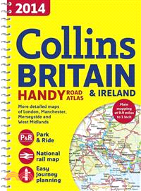
Fully updated for 2014, a collection of extremely clear, route-planning maps of Britain and Ireland that fits neatly into the glovebox, pocket, or bagThis handy road atlas makes for the ideal travelin
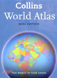
This mini edition has been brought fully up-to-date to reflect all recent global changesRevised mapping, updated statistics, and the latest interesting facts about the world are all included in this a
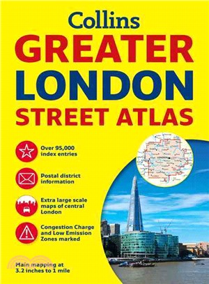
Incredibly detailed street level maps, with more than 40 categories of information, cover 1,660 square miles in and around London. Extra large scale central London maps at 6.3 inches to 1 mile make fo
This full color double-sided map of Great Britain at 9 miles to 1 inch (1:550,000 approximately) has clear, detailed road network and administrative areas shown in color. With its political coloring o