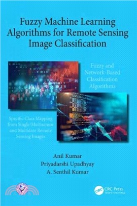
This book covers the state-of-art image classification methods for discrimination of earth objects from remote sensing satellite data with an emphasis on fuzzy machine learning and deep learning algorithms. Both types of algorithms are described in such details that these can be implemented directly for thematic mapping of multiple-class or specific-class landcover from multispectral optical remote sensing data. These algorithms along with multi-date, multi-sensor remote sensing are capable to monitor specific stage (for e.g., phenology of growing crop) of a particular class also included. With these capabilities fuzzy machine learning algorithms have strong applications in areas like crop insurance, forest fire mapping, stubble burning, post disaster damage mapping etc. It also provides details about the temporal indices database using proposed Class Based Sensor Independent (CBSI) approach supported by practical examples. As well, this book addresses other related algorithms based on
若需訂購本書,請電洽客服 02-25006600[分機130、131]。