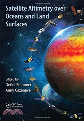
Satellite remote sensing, in particular by radar altimetry, is a crucial technique for observations of the ocean surface and of many aspects of land surfaces, and of paramount importance for climate a
The book gives a unified account of how to use contemporary satellite observations to infer the temperature of Earth’s surface. It describes the general principles involved; discusses in turn the aspe
Offering a balanced review of differing approaches based on remote sensing methods to monitor ecosystem services related to biodiversity conservation, carbon and water cycles, and the energy balance o
Forests provide a large range of beneficial services, including tangible ones such as timber and recreation, and intangible services such as climate regulation, biodiversity, and watershed protection.