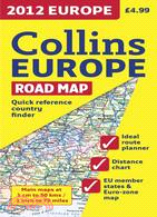
New edition of annually revised, politically coloured map of Europe. The ideal map for planning and route-finding
Area of Coverage: From the North Cape to Gibraltar and from Ireland to east of Moscow. Also includes Iceland and Cyprus. Map Detail: Politically coloured mapping showing classified road network, railways, airports, cities, and towns. Includes: Index to place names on reverse of sheet; Distance chart giving distances in kilometers between main towns; European Union map showing member states and the Euro-zone; Internet links to further information on; Europe Key to approved country code abbreviations—GB, F, D etc.; Map legend in English, French, German, Spanish, and Italian