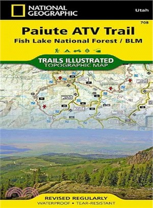
‧ Waterproof ‧ Tear-Resistant ‧ Topographic MapRevised in 2011, the Trails Illustrated map for Paiute ATV Trail and Fish Lake National Forest includes detailed ATV trails and trail mileages. The waterproof, tear-resistant map also includes UTM grids for use with your GPS unit.
Coverage includes Fish Lake National Forest, BLM - Sevier River Resource Area; Tushar Mountains; Fremont Indian State Park; Millard, Sevier and Paiute counties; complete map of Paiute ATV Trail with adjoining loop trails and town access maps including Fillmore, Richfield, Koosharem, Marysvale, Geenwich and Circleville; reservoirs including Piute, Otter Creek, Rocky Ford, Koosharem and Three Creeks.
- Map Scale = 1:90,000
- Sheet Size = 37.75" x 25.5"
- Folded Size = 4.25" x 9.25"