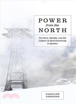
In the 1970s, Hydro-Quebec declared in a publicity campaign"We Are Hydro-Quebecois." The slogan symbolized the extentto which hydroelectric development in the North had come to bothreflect and fuel Fr
The Atlas of Early Modern Britain presents a unique visual survey of British history from the end of the Wars of the Roses through to the accession of George I in 1715. Featuring 117 maps, accompanied
This volume of Geographers Biobibliographical Studies brings together essays on four Frenchmen, a Czech, and three Englishmen. The lives of our subjects extend from the late Enlightenment and the era
The Atlas of Early Modern Britain presents a unique visual survey of British history from the end of the Wars of the Roses through to the accession of George I in 1715. Featuring 117 maps, accompanied
Edmund William Gilbert (1900–73) was a renowned British social and historical geographer. In this book, which was first published in 1933, Gilbert discusses the exploration of the western area of what became the United States during the first half of the nineteenth century. As part of this process, the text makes 'an attempt to reconstruct the geographical setting in which the explorers accomplished their work, and thus to estimate the influence of geographical factors on the history of the exploration of the region.' Numerous illustrative figures and a detailed bibliography section are also included. This book will be of value to anyone with an interest in historical geography and nineteenth-century American history.
In the early hours of 15 December 2006, a powerful windstorm rippedthrough Vancouver. The city's residents awoke to discover StanleyPark, their most treasured landmark, transformed into a tangle ofspl
These four hand-colored maps of London in the Victorian age show all of London, including the surrounding countryside and outlying villages such as Hampstead, Stratford, Merton and Beckenham. Perfect
"Portolan charts," so called from the Italian adjective portolano, meaning "related to ports or harbours," were born during the 12th century in the maritime community. These charts, drawn on parchment