Get the very latest road and detail changes in the UK from 2014, including speed camera limits and locations and a wide range of map scales with clear color codingThis A4-format road atlas with popula
A new edition of the annually revised, politically colored road map of France With main mapping at 18 miles to one inch, this map shows individual departments by name, and cities, towns, roads, Europe
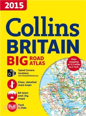
The very best large format paperback road atlas of Britain—with speed camera locations included Featuring Collins' popular and well-established road mapping, this atlas is designed for exceptional cla
The very best large format paperback road atlas of Britain—with speed camera locations included Featuring Collins' popular and well-established road mapping, this atlas is designed for exceptional cla
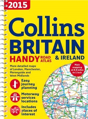
A handy A5-sized road atlas with popular lie-flat spiral binding and extremely clear route planning maps of Britain and Ireland This detailed atlas fits neatly into a glove box, briefcase, or bag, and
A new edition of the annually revised, politically colored road map of Europe This road map uses a scale of 79 miles to one inch for all main mapping. It shows roads, motorways, European Route numbers
A fully revised, large format A3 road atlas of France This atlas contains detailed roadmapping produced for this atlas from an up-to-date digital database, town plans, and a comprehensive place name i
An up-to-date A4 spiral bound road atlas of Europe Containing clear, detailed road mapping, this atlas is perfect for touring the Mediterranean, Iberian peninsula, Scandinavia, or one of the many ot