A brand-new illustrated dictionary, suitable for families and children aged?eight and?up. In full color throughout, and with around 20,000 entries, this is an attractive and authoritative reference fo
A brand-new illustrated dictionary, suitable for families and children aged?eight and?up. In full color throughout, and with around 20,000 entries, this is an attractive and authoritative reference fo
A brand new range of practical little walk guides endorsed by the Ramblers. All the walks are?five miles or under in length and can easily be completed in less that 3 hours.?Twenty walks are included
A brand new range of practical little walk guides endorsed by the Ramblers. All the walks are?five miles or under in length and can easily be completed in less that 3 hours.?Twenty walks are included
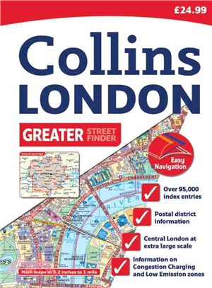
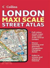
Scale: 1:10,000 Central area, 1:20,000 Main area, 1:63,360 Urban maps. Incredibly detailed street level map with over 40 categories of information, covering 1660 square miles in and around London.
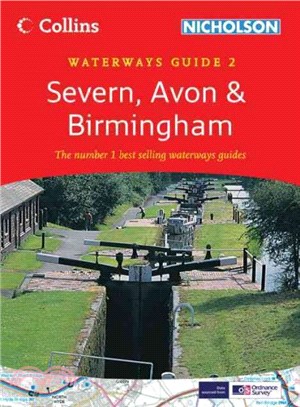
Popular guide covering the canals and waterways around Birmingham and the River Severn. Colour Ordnance Survey(R) maps clearly show locks, towpaths and boating facilities. There are also comprehensive
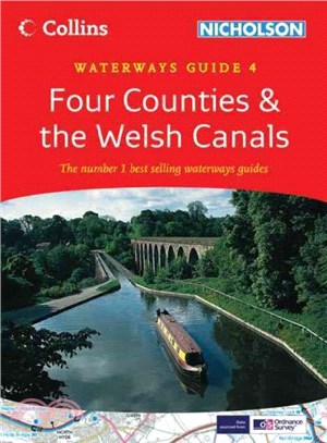
Popular guide covering the canals and waterways in Wales and to the south of Liverpool. Colour Ordnance Survey(R) maps clearly show locks, towpaths and boating facilities. There are also comprehensive
Presented with a scale of: central area, 9.1 inches to 1 mile (1:6,983), and outer area - 4.5 inches to 1 mile (1:14,052). This atlas features street level maps from the Collins Bartholomew digital da