‧ Waterproof ‧ Tear-Resistant ‧ Travel MapNational Geographic's Four Corners Region DestinationMap strikes the perfect balance between map and guidebook and is ideal for a wide range of travelers. The
‧ Waterproof ‧ Tear-Resistant ‧ Topographic MapCoverage includes White River and San Isabel national forests; Hunter-Fryingpan and Holy Cross wilderness areas; Sylvan Lake State recreation area; and t
• Waterproof • Tear-Resistant • Topographic MapThis Trails Illustrated topographic map for Virgin Islands National Park, and surrounding area on the island of St. John, US Virgin Islands. The map incl
‧ Waterproof ‧ Tear-Resistant ‧ Topographic MapCoverage includes San Juan and Rio Grande national forests; Weminuche Wilderness; Williams Creek; Big Meadows and Rio Grand reservoirs; Chicago Basin, Em
‧ Waterproof ‧ Tear-Resistant ‧ Travel MapNational Geographic's Finland and Northern Scandinavia AdventureMap is designed to meet the unique needs of adventure travelers with its durability and accura
‧ Waterproof ‧ Tear-Resistant ‧ Travel MapNational Geographic's Sardinia AdventureMap is designed to meet the unique needs of adventure travelers with its durability and accurate information. This fol
‧ Waterproof ‧ Tear-Resistant ‧ Travel MapNational Geographic's Austrailia AdventureMap is designed to meet the unique needs of adventure travelers with its durability and accurate information. This f
‧ Waterproof ‧ Tear-Resistant ‧ Topographic MapCoverage area includes: White Mountain National Forest, Mt Washington, Tuckerman Ravine and Pinkham Notch, Dry RiverAPresidential Range; Great Gulf, and
‧ Waterproof ‧ Tear-Resistant ‧ Travel MapNational Geographic's South Africa AdventureMap is designed to meet the unique needs of adventure travelers with its durability and accurate information. This
‧ Waterproof ‧ Tear-Resistant ‧ Travel MapNational Geographic's Pyrenees and Andorra AdventureMap is designed to meet the unique needs of adventure travelers with its durability and accurate informati
‧ Waterproof ‧ Tear-Resistant ‧ Travel MapNational Geographic's India, Northwest AdventureMap is designed to meet the unique needs of adventure travelers with its durability and accurate information.
‧ Waterproof ‧ Tear-Resistant ‧ Topographic MapCoverage area includes White Mountain National Forest; Pemigewasset and Sandwich Range wilderness areas; Appalachian National Scenic Trail from Hanover,
‧ Waterproof ‧ Tear-Resistant ‧ Travel MapNational Geographic's Southern Norway and Sweden AdventureMap is designed to meet the unique needs of adventure travelers with its durability and accurate inf
‧ Waterproof ‧ Tear-Resistant ‧ Travel MapNational Geographic's India, Northeast AdventureMap is designed to meet the unique needs of adventure travelers with its durability and accurate information.
‧ Waterproof ‧ Tear-Resistant ‧ Travel MapNational Geographic's India, South AdventureMap is designed to meet the unique needs of adventure travelers with its durability and accurate information. This
‧ Waterproof ‧ Tear-Resistant ‧ Travel MapNational Geographic's Thailand AdventureMap is designed to meet the unique needs of adventure travelers with its durability and accurate information. This fol
• Waterproof • Tear-Resistant • Topographic MapCoverage includes Gunnison National Forest; West Elk and Raggeds wilderness areas; Paonia State Recreation Area; the city of Somerset; Beaver Reservoir,
‧ Waterproof ‧ Tear-Resistant ‧ Topographic MapCoverage includes White River and Gunnison national forests; Maroon Bells-Snowmass and Collegiate Peaks Wilderness areas; the cities of Gothic, Crested B
‧ Waterproof ‧ Tear-Resistant ‧ Topographic MapCoverage area includes parts of San Juan and Uncompahgre national forests; south San Juan Mountains; Lizard Head, Mt Sneffels and Uncompahgre wilderness
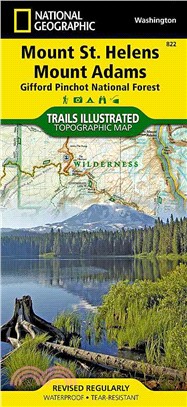
‧ Waterproof ‧ Tear-Resistant ‧ Topographic MapGifford- National Forest ‧ Washington, USAOne of five new Trails Illustrated maps for the Washington Cascades region offers the most detailed and up-to-d
‧ Waterproof ‧ Tear-Resistant ‧ Travel MapNational Geographic's Costa Rica AdventureMap is designed to meet the unique needs of adventure travelers with its durability and accurate information. This f
‧ Waterproof ‧ Tear-Resistant ‧ Topographic MapMount Baker-Snoqualmie and Okanogan-Wenatchee National Forests · Washington, USAOne of five new Trails Illustrated maps for the Washington Cascades regio
‧ Waterproof ‧ Tear-Resistant ‧ Topographic MapCoverage includes Gunnison National Forest, and the cities of Gunnison, Almont, Pitkin, Ohio, and Parlin; East, Gunnison. and Taylor rivers; Gold and Tom
‧ Waterproof ‧ Tear-Resistant ‧ Topographic MapGifford-Pinchot and Okanogan-Wenatchee National Forests ‧ Washington, USAOne of five new Trails Illustrated maps for the Washington Cascades region offer
‧ Waterproof ‧ Tear-Resistant ‧ Topographic MapGrand Canyon West (#263) and Grand Canyon East (#262) combine to cover the entire Grand Canyon National Park and its bordering public lands. Both maps co
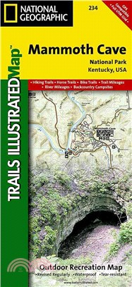
‧ Waterproof ‧ Tear-Resistant ‧ Topographic MapTopographic map for Mammoth Cave, and surrounding area in west-central Kentucky covers the area in and around the cave.The map includes the Green River,
‧ Waterproof ‧ Tear-Resistant ‧ Topographic MapThis Trails Illustrated topographic map for Big South Fork National River and Recreation Area in southern Kentucky and northern Tennessee is the perfect
‧ Waterproof ‧ Tear-Resistant ‧ Topographic MapCoverage includes Boulder County Open Space Parks, City of Boulder County Open Space and Mountain Parks, Jefferson County Open Space Parks, Eldorado and
‧ Waterproof ‧ Tear-Resistant ‧ Topographic MapJam packed with over 500 miles of single-track and multi-use trails, our new National Geographic Trails Illustrated map for the mountain biking mecca of
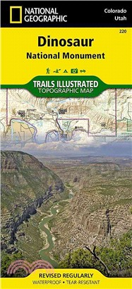
‧ Waterproof ‧ Tear-Resistant ‧ Topographic MapThis Trails Illustrated topographic map for Dinosaur National Monument, which straddles the state lines of northwest Colorado and northeast Utah, is the
‧ Waterproof ‧ Tear-Resistant ‧ Topographic MapLocated just outside of Portland, Mt. Hood is the tallest peak in Oregon, the fourth highest in the Cascade Range, and a premier destination for outdoor
‧ Waterproof ‧ Tear-Resistant ‧ Topographic MapCoverage includes Pisgah National Forest; Shining Rock and Middle Prong wilderness areas; Bent Creek Research and Demonstration Forest; North Carolina Ar
‧ Waterproof ‧ Tear-Resistant ‧ Topographic MapThis two-sided map includes Black Canyon National Park in its entirety, and Gunnison Gorge Wilderness, and portions of Gunnison Gorge National Conservati
‧ Waterproof ‧ Tear-Resistant ‧ Topographic MapCoverage includes Rio Grande and San Juan national forests; South San Juan Wilderness; Dipping Lakes and Spiler Lakes; Lost Lake; Platoro and Fuchs Reser
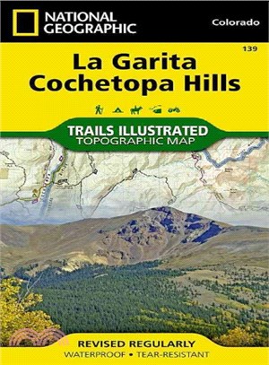
‧ Waterproof ‧ Tear-Resistant ‧ Topographic MapCoverage includes San Isabel, Gunnison and Rio Grande National Forests; La Garita Wilderness; Cochetopa Hills; Cebolla Creek State Wildlife Area; Dome La
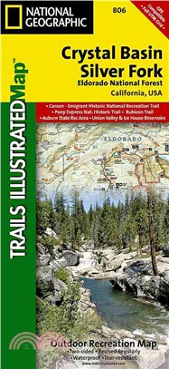
• Waterproof • Tear-Resistant • Topographic MapNational Geographic’s Trails Illustrated map of Crystal Basin and Silver Fork covers the Eldorado National Forest, from its northern bound
‧ Waterproof ‧ Tear-Resistant ‧ Topographic MapTrails are classified by use - hiking, horse and hike, mountain bike, shared use, or motorized - and includes a trail chart showing trail name, location,