‧ Waterproof ‧ Tear-Resistant ‧ Topographic MapThe map includes all of North Cascades National Park, Ross Lake National Recreation Area, and Lake Chelan National Recreation Area, with detailed trails
‧ Waterproof ‧ Tear-Resistant ‧ Topographic MapTrails are classified by use - hiking, horse and hike, mountain bike, shared use, or motorized - and includes a trail chart showing trail name, location,
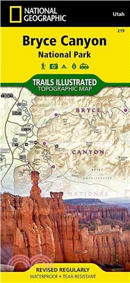
The map includes the entire national park area, with detailed trails and topographic information. Also included are portions of Grand Staircsae - Escalante National Monument, Bryce Ampitheater, Sunris
‧ Waterproof ‧ Tear-Resistant ‧ Travel MapIn addition to the easy-to-read map on the front, the back includes: - Regional map - Points of interest - Map and information for Lake Shore Drive and Lincol
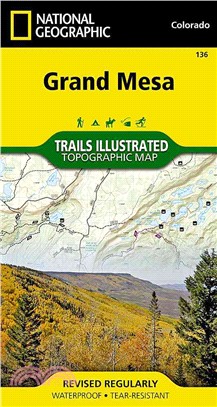
‧ Waterproof ‧ Tear-Resistant ‧ Topographic MapCoverage includes Grand Mesa National Forest; Vega Reservoir State Recreation Area; Collbran, Flowing Park, Granby and Rapid Creek reservoirs; Cottonwood
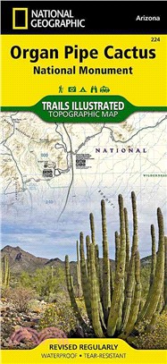
‧ Waterproof ‧ Tear-Resistant ‧ Topographic MapThis Trails Illustrated topographic map for Organ Pipe Cactus National Monument, straddling southern Arizona, and northern Sonora, Mexico, is the perfect
‧ Waterproof ‧ Tear-Resistant ‧ Topographic MapCoverage includes the Pike, San Isabel and Arapaho national forests, Alma State Wildlife Area and the cities of Leadville, Como, Breckenridge, Climax and
‧ Waterproof ‧ Tear-Resistant ‧ Topographic MapCoverage includes Roosevelt and Arapaho national forests, Indian Peaks and Byers Peak Wilderness, Eldora, Central City, Empire, Fraser and Winter Park, B
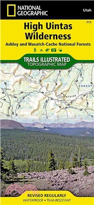
‧ Waterproof ‧ Tear-Resistant ‧ Topographic MapCoverage includes Wasatch-Cache National Forest; the entire High Uintas Wilderness and surrounding backcountry; Hoop, Brown, Moon, Crystal, Little Lyman
‧ Waterproof ‧ Tear-Resistant ‧ Topographic MapGranite Cheif Wilderness, Pacific Crest National Scenic Trial, American (North Fork) Wild and Scenic River, Downieville, HHwy 49 Corridor, New Bullards B
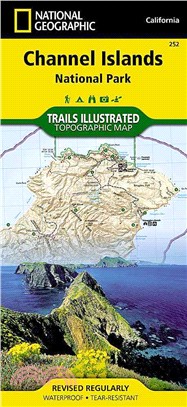
‧ Waterproof ‧ Tear-Resistant ‧ Topographic MapThis two-sided map includes San Miguel Island, Santa Rosa Island, Santa Cruz Island, Santa Barbara Island, and Anacapa Island. The map combines beautiful
• Waterproof • Tear-Resistant • Topographic MapCoverage includes White River National Forest. Carbondale and Basalt. Roaring Fork, Fryingpan, and Crystal Rivers. Mt. Sopris, Red Hill, Basalt Mountain
‧ Waterproof ‧ Tear-Resistant ‧ Topographic MapThis Trails Illustrated topographic map for Joshua Tree National Park and the surrounding area in California is the perfect recreational map for this fas
‧ Waterproof ‧ Tear-Resistant ‧ Topographic MapCoverage includes Roosevelt and Arapaho national forests, Indian Peaks Wilderness, Arapaho National Recreation Area, Tabernash, Fraser, Nederland, Eldora
‧ Waterproof ‧ Tear-Resistant ‧ Topographic MapCoverage includes White River and Gunnison national forests. Raggeds and Maroon Bells Snowmass wilderness areas. Redstone, Marble, Placity and Woody cree
‧ Waterproof ‧ Tear-Resistant ‧ Topographic MapCoverage includes White River, San Isabel and Gunnison national forests. Maroon Bells Snowmass, Hunter Fryingpan, Mt. Massive, Collegiate Peaks and Spruc
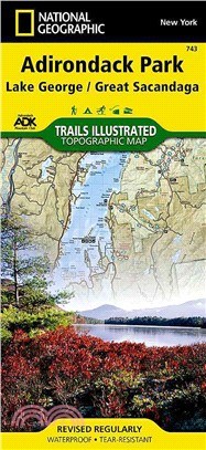
‧ Waterproof ‧ Tear-Resistant ‧ Topographic MapCoverage includes Pharaoh Lake and Hoffman Notch Wilderness Areas; Lake George, Hammond Pond, and Wilcox Lake Wild Forests; Ticonderoga, Schroon Lake, Wa
‧ Waterproof ‧ Tear-Resistant ‧ Travel MapNational Geographic's Everest Base Camp AdventureMap is designed to meet the unique needs of adventure travelers with its durability and accurate information.
‧ Waterproof ‧ Tear-Resistant ‧ Topographic MapCoverage includes Sangre de Cristo Mountains; Great Sand Dunes National Park and Preserve; San Isabel and Rio Grande national forests; Sangre de Cristo W
• Waterproof • Tear-Resistant • Topographic MapCoverage includes Arapaho and Pike national forests, Mount Evans Wilderness, Idaho Springs, Georgetown, Montezuma, Keystone, Clear Creek, Chicago Lakes,
‧ Waterproof ‧ Tear-Resistant ‧ Topographic MapUpdated to reflect road closings, new trails, and campground relocation, and includes detailed trail information, points of interest, trailheads, picnic
‧ Waterproof ‧ Tear-Resistant ‧ Topographic MapCoverage includes Bano de Oro Research Natural Area, El Yunque Recreation Area, Sierra de Luquillo. Includes UTM grids for use with your GPS unit and a t
‧ Waterproof ‧ Tear-Resistant ‧ Topographic MapNational Geographic's Cape Cod Coastal Recreation map is the ideal companion for adventures along shore and on the water.National Geographic's new family
‧ Waterproof ‧ Tear-Resistant ‧ Topographic MapThe map includes the entire national park area, including the summit area, the wilderness area, and the Kipahulu area. Included are Red Hill, Magnetic Pe
‧ Waterproof ‧ Tear-Resistant ‧ Travel MapNational Geographic's Khumbu, Nepal AdventureMap is designed to meet the unique needs of adventure travelers with its durability and accurate information. Thi
‧ Waterproof ‧ Tear-Resistant ‧ Topographic MapThis Trails Illustrated map for Glacier Bay National Park, Glacier Bay National Preserve, and surrounding area and surrounding area in Alaska's panhandle
‧ Waterproof ‧ Tear-Resistant ‧ Topographic MapThis Trails Illustrated topographic map for Everglades National Park and surrounding area is the perfect map for hiking, boating, paddling, biking, fishi
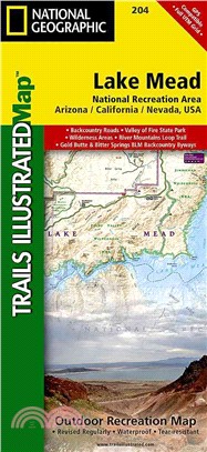
‧ Waterproof ‧ Tear-Resistant ‧ Topographic MapOur Lake Mead, Trails Illustrated Outdoor Recreation map is the most detailed and up-to-date map available, and packed with content for a wide range of o
‧ Waterproof ‧ Tear-Resistant ‧ Topographic MapCoverage includes Chugach National Forest, Nellie Juan-College Fjord Wilderness Study Area, Copper River Delta; Shoup Bay, Sawmill Bay, and Jack Bay stat
‧ Waterproof ‧ Tear-Resistant ‧ Topographic MapCoverage includes Uinta National Forest, Mt. Nebo, Lone Peak and Mt. Timpanogos Wildernesses; Granite, American Fork, Orem; Little Cottonwood Canyon, San
‧ Waterproof ‧ Tear-Resistant ‧ Topographic MapThis Trails Illustrated map for Chilkoot Trail / Klondike Gold Rush National Historic Park in the Alaskan panhandle and surrounding area in Alaska's panh
Waterproof ? Tear-Resistant ? Topographic MapNational Geographic's Trails Illustrated map of the Wheeler Peak area and the public recreational lands near Taos, New Mexico is designed to meet the needs
‧ Waterproof ‧ Tear-Resistant ‧ Topographic MapCoverage includes Dixie National Forest. Bryce Canyon National Park; Paunsaugunt Plateau; Red Canyon, Sunset and Pink Cliffs, Johns Valley, Casto Canyon,