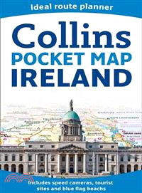
Handy little full color map of Ireland. It is double-sided with the south of Ireland up to and including Dublin on one side and from Dublin northwards on the reverse. Ideal for the pocket, bag, or glo
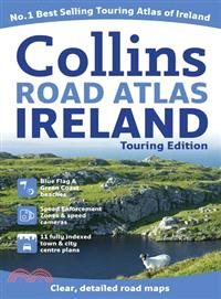
A wealth of tourist information, extremely clear and attractive mapping, and detailed town center plans make this an essential purchase for visitors?With attractive road mapping of the whole of Irelan
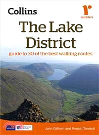
This comprehensive guide to Lake District walks is produced in association with the Rambler’s Association. This updated guide combines detailed route descriptions, maps, and photographs with informati
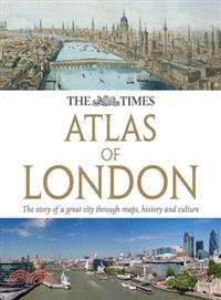
Authoritative and prestigious atlas with detailed mapping and photographs for the whole of Greater London. Fully up-to-date reference maps, statistics, images, and historical mapping give an exception
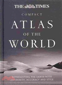
Complete with a slipcase and stunning 1922 archive world map,?a revised and updated?edition of the world's most prestigious and authoritative world atlasNow in its 13th edition, this atlas is relied o
Renowned for their world-class approach to innovation, the nowhere group works with a wide range of businesses, government agencies, and individuals to develop their creativity and innovation in the w
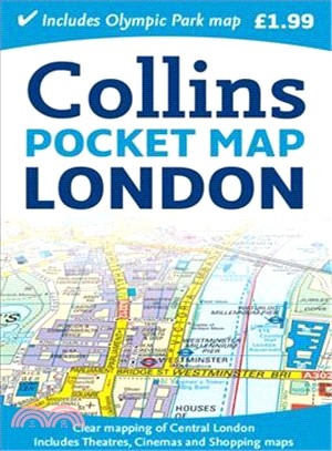
A handy little full color map of central London with a high level of detail, ideal for the pocket or bag?Clear mapping of central London covers the most visited area of central London, ranging from Re
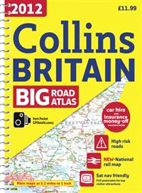
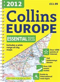
Fully updated road mapping covers the whole of Britain, with each scale of mapping color-coded for ease of use?The ultimate 3.2 miles to 1 inch scale large format road atlas for the year 2012 features
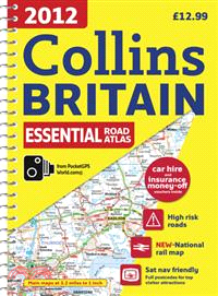
This handy-sized spiral road atlas covers the whole of Britain at a selection of useful scales?This road atlas with popular lie-flat spiral binding features clear, detailed road mapping, at a scale of
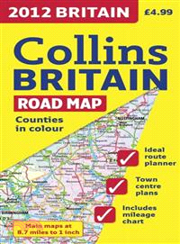
Full color double-sided map of Great Britain at 9 miles to 1 inch with clear, detailed road network and administrative areas shown in color?A?general purpose map for business users and tourists, this
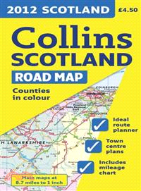
Full color map of Scotland at 9 miles to 1 inch with clear, detailed road network and administrative areas shown in color. This popular map has clear political coloring with administrative areas shown
Full color map of Ireland at 9 miles to 1 inch, with clear, detailed road network and counties and administrative areas shown in color. Main Features: This popular map has clear political colouring wi
Give your memory a workout, stimulate your brain, and hone your general knowledge with 80 definition-only puzzles from the Times' T2 section. Covering a wide range of topics from geography to literatu
Holly is surprised to find herself in a beautiful rose garden, with her trusty guide, the White Cat, nowhere to be seen. As she turns round, she sees a man picking a white rose while an ugly beast wat
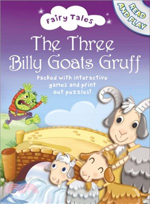
The classic tale of The Three Billy Goat's Gruff with beautiful, contemporary new illustrations. Listen to Josie Lawrence read your favourite fairytales as you play the games, print off colouring shee
This is the second in a new series of crossword books published in conjunction with "The Times", featuring 60 jumbo-sized general knowledge crosswords. Each puzzle, with over 80 general-knowledge clue
A completely revised edition of this convenient, small-format atlas in the world's most prestigious and authoritive world atlas collectionAll the mapping and information in this revised edition has be
A hot'n'spicy Caribbean cookbook that can teach any cook how?to bring carnival to the kitchen?Empowering cooks to bring?the excitement and vitality of Caribbean flavors to?their own cooking, this?ecle
A sublime journey into the heart of the British countryside, guided by one of the masters of nature writing who notices the sublime and explains the hidden.?Last November, the sudden appearance of 100
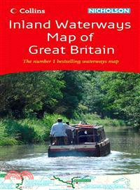
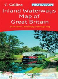
The map companion to the Collins/Nicholson Waterways Guides, covering the entire network of canal and river navigations in England, Scotland, and Wales, including newly restored/opened canals and rive
The fascinating story of the iconic president's trip to Ireland?The idolized, handsome, and glamorous John Fitzgerald Kennedy was the great-grandson of Irish immigrants and the first and only Irish-Ca
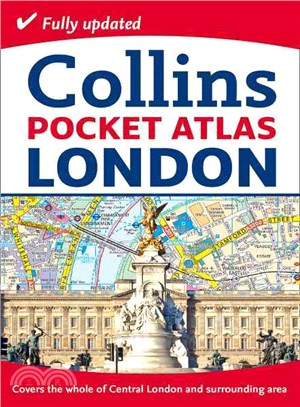
Fully updated, clear street maps of Central London and the surrounding area in a pocket-sized atlas?An ideal purchase for resident or?visitor alike, this handy little atlas has an extensive area of co
From the author of Cold Granite and Dark Blood, the new Logan McRae thriller takes a look at the terrors of reality television celebrityYou will raise money for the safe return of Alison and Jenny McG
A guide to owning the overachiever of the dog world?eager to please, and a?glutton for more work or play?Border collies are a working breed and excel in agility as well as obedience training. This gui
A handy format street atlas of Greater Dublin with clear, detailed street mapping?Scaled at?4.4 inches to 1 mile, this street mapping of Greater Dublin?is fully indexed. Fixed safety cameras have been
This popular guide covers the canals and waterways in Wales and to the south of Liverpool. Color Ordnance SurveyR maps clearly show locks, towpaths, and boating facilities. There are also comprehensiv
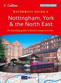
This popular guide covers the canals and waterways between York and the River Trent south of Nottingham. Colour Ordnance SurveyR maps clearly show locks, towpaths, and boating facilities. There are al
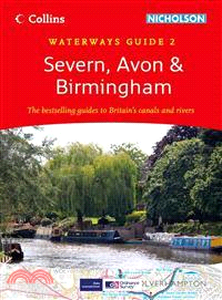
This popular guide covers the canals and waterways around Birmingham and the River Severn. Colour Ordnance SurveyR maps clearly show locks, towpaths, and boating facilities. There are also comprehensi
Most people share an enthusiasm for beautiful and breathtaking scenery, explored variously through the physical challenge of climbing to the top of the tallest mountains or the joy of viewing the work
This?fully revised edition of the A4 spiral road atlas contains road mapping, route planning maps, larger scale road maps of the Ruhr and Rhine, city through route maps, city center plans, and a compr
Railways appear in almost every type of map available throughout the nineteenth and twentieth centuries. Detailed Parliamentary plans were drawn up for hundreds of proposed railway schemes (many of wh
A complete natural history and the first large-scale survey of this unique part of the country.The borderland between England and Wales has long been a region of contention. Its distinctive geography,
Annie Carter was a madam in a brothel and a New York?gangster's moll, but now her protection is gone and her enemies are closing inIn 1971, London gang boss Annie Carter Barolli is living the New York
Fliss gets a card from Ryan Scott, asking her to the school Valentine disco. But is Ryan really interested, or are the?M & Ms up to their usual tricks? And who is Lyndz's secret admirer!? Pack up
The weather is all mixed up in Enchantia because King Rat has turned his castle into an ice palace! Can Holly and the White Cat make things right before it is too late?
The map companion to the Collins/Nicholson Waterways Guides covers the entire network of canal and river navigations in England, Scotland ,and Wales, including newly restored or opened canals and rive
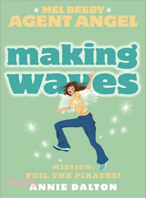
Lately rebel angel Brice seems to be behaving, so when Michael asks him and Mel to join on a mission to the 17th-century Caribbean, she happily zooms off to pack her bikini. But the lush paradise of t
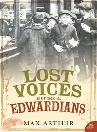
Combining oral history, rare images, and rediscovered film stills from the turn of the century, this work?gives voice to the forgotten figures who peopled the cities, factories, and?coasts of Edwardia
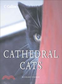
This appealing little book forms a group portrait of some of the most privileged cats in Britain that make their home in?and around the?grandeur of?Britain's cathedrals.?There is hardly a door or wind
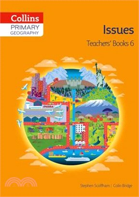
Collins Primary Geography has been developed to provide full coverage of curriculum requirements for geography in the primary school. The Teacher’s Guide contains a wide selection of follow-up work an