Maps in this atlas?are exceptionally clear and easy to use with color coding for both the roads as well as locations such as?shops, hospitals, hotels, schools, and more.?They include postal district b
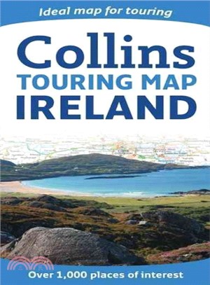
A wealth of tourist information, extremely clear and attractive mapping, and detailed town center plans make this an essential purchase for visitors With attractive road mapping of the whole of Irelan
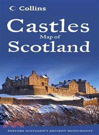
Featuring over 700 castles and fortified houses, this pictorial map comes complete with an easy-to-use index listing visitor information and an attractive selection of photographs. The index comprises
This map is popular with walkers and visitors to the Lake District, featuring detailed layer-colored mapping on one easy-to-use sheet. The attractive layer tints, contour lines, and spot heights give
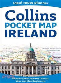
Handy little full color map of Ireland. It is double-sided with the south of Ireland up to and including Dublin on one side and from Dublin northwards on the reverse. Ideal for the pocket, bag, or glo
A slipcase containing three pocket-sized maps and guides: Whisky, Castles, and Clans and Tartans Perfect for visitors who want to capture the essence of Scotland, this box contains three booklets with
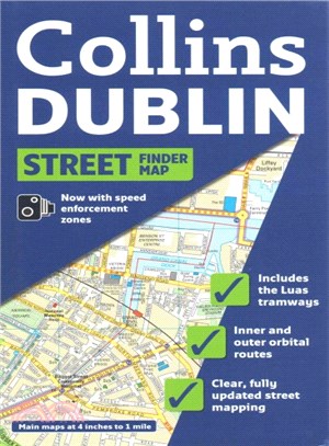
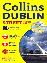
Full color map of Dublin with street level detail and full index to street names. For 2009 the map shows speed enforcement zones and cameras. The map has clear, color-classified streets named and numb
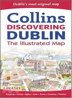
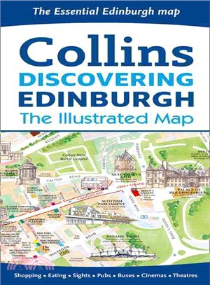
This product displays delightful water-color mapping, with individual paintings of all the main sights and landmarks in Dublin. It includes extra large scale maps of the Temple Bar and Grafton Street
Full colour map of Scotland at 8.7 miles to 1 inch (1:550,000) with clear, detailed road network and administrative areas shown in colour. The map covers the whole of Scotland and part of Northern Eng
A wealth of tourist information, extremely clear and attractive mapping, and detailed town center plans make this an essential purchase for visitors?With attractive road mapping of the whole of Irelan
Marking the 30th anniversary of the first edition's publication,?this new edition is updated with the latest terms to enter the English language. Comprehensive and authoritative,?this reference?also o
Inside this little book, you will discover all the hints and top tips for all day, everyday success with Bananagrams We all want to get one over on our friends and family when we play Bananagrams. M
This revision guide is matched to the new Key Stage 3 Programme of Study for Geography. It contains clear and accessible explanations of all the essential content, with lots of practice opportunities
This revision guide is matched to the new Key Stage 3 Programme of Study for English. It contains clear and accessible explanations of all the essential content, with lots of practice opportunities fo
This revision guide is matched to the new Key Stage 3 Programme of Study for science. It contains clear and accessible explanations of all the essential content, with lots of practice opportunities fo
This revision guide is matched to the new Key Stage 3 Programme of Study for History. It contains clear and accessible explanations of all the essential content, with lots of practice opportunities fo
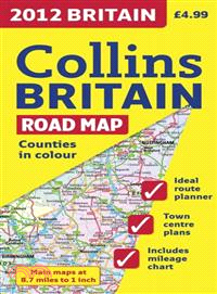
This full color double-sided map of Great Britain at 9 miles to 1 inch (1:550,000 approximately) has clear, detailed road network and administrative areas shown in color. With its political coloring o
With a scale of 4.25 inches to 1 mile, this handy full color atlas has clear street level mapping presented in an easy to use handy format. Features include a route-planning road map of the area aroun
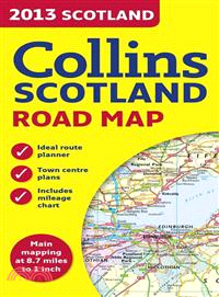
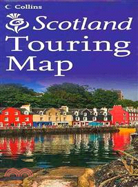
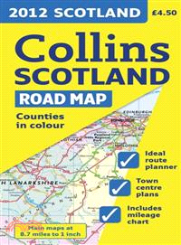
An updated touring map with the whole of Scotland on a double-sided sheet at 5 miles to 1 inchThis clear, easy to follow road map with color classified roads shows distances shown along major routes.
A handy color map of the whole of Ireland is packed with detail and features clear and detailed mapping at a scale of 6.5 miles to 1 inch, ideal for easy journey planning This essential purchase for v
Scale: 1:2,000,000 Handy road atlas of Europe at A5 format with lie-flat spiral binding. Ideal format for both drivers and those travelling by public transport. Scenic routes are plotted on
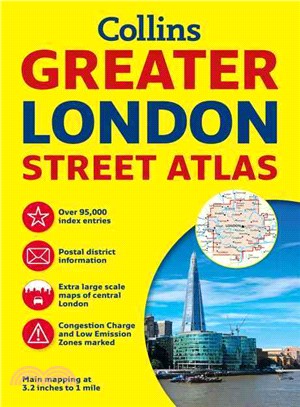
Incredibly detailed street level maps, with more than 40 categories of information, cover 1,660 square miles in and around London. Extra large scale central London maps at 6.3 inches to 1 mile make fo
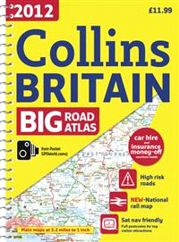
Fully updated road mapping covers the whole of Britain, with each scale of mapping color-coded for ease of use The ultimate 3.2 miles to 1-inch scale, large-format road atlas for the year 2014 feature
This full color double-sided map of Great Britain at 9 miles to 1 inch (1:550,000 approximately) has clear, detailed road network and administrative areas shown in color. With its political coloring o
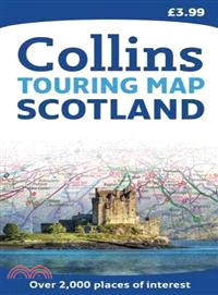
This official map of Scotland is published in association with Scotland's national tourist authority, Visit Scotland. A comprehensive map showing the locations of more than 1700 places to visit and th
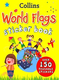
An educational activity book packed with colorful illustrations, photographs, and reusable stickersEncouraging young children to identify national and international flags, each flag in this book is li
Packed with amazing colorful maps, this amazing atlas will provide fun to young explorers and adventurers A balanced mix of colorful maps, stickers, and facts combine to make this atlas a perfect comb
Explore the exciting city of Dublin with this detailed, fully updated color map. The map, at a scale of 4 inches to 1 mile (1:15,840), has clear, color-classified streets named and numbered, plus plac
Scale: 1:316,800 (5 miles to 1 inch). This popular touring map has a huge amount of detail with places of tourist interest plotted and named on the map. Fully updated for 2010. A clear, easy to follow
Edinburgh, home to the Scottish parliament, is on the itinerary of many visitors to Scotland. This brand new edition retains the delightful water-color mapping, with individual paintings of all the ma
Full color map at 7.5 miles to 1 inch with a special emphasis on places of tourist interest in addition to a detailed road network. The shape of the land is shown by the use of attractive hillshading.
A new and extended edition of a vital tool for students, with new topics including world agriculture, world climate change, low and middle economic developing countries, and?ecological footprint?Altho
Fully updated road mapping covers the whole of Britain, with each scale of mapping color-coded for ease of use?The ultimate 3.2 miles to 1 inch scale large format road atlas for the year 2012 features
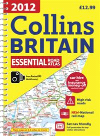
This handy-sized spiral road atlas covers the whole of Britain at a selection of useful scales?This road atlas with popular lie-flat spiral binding features clear, detailed road mapping, at a scale of
Full color double-sided map of Great Britain at 9 miles to 1 inch with clear, detailed road network and administrative areas shown in color?A?general purpose map for business users and tourists, this
Full color map of Scotland at 9 miles to 1 inch with clear, detailed road network and administrative areas shown in color. This popular map has clear political coloring with administrative areas shown
Full color map of Ireland at 9 miles to 1 inch, with clear, detailed road network and counties and administrative areas shown in color. Main Features: This popular map has clear political colouring wi
Incredibly detailed street level maps, with?more than?40 categories of information, cover 1,660 square miles in and around London.?Extra large scale central London maps at 6.3 inches to 1 mile make fo
Presented with lie-flat spiral binding, this is the ultimate 3.2 miles to 1 inch scale large format road atlas for the year 2010. Collins' popular and well established road mapping is designed for exc
The official map of Scotland, published in association with Scotland's national tourist authority, Visit Scotland. A comprehensive map showing the locations of over 1700 places to visit and things to