

共
242 筆
第1 / 7 頁
滿額折

90 折
若需訂購本書,請電洽客服 02-25006600[分機130、131]。

90 折
若需訂購本書,請電洽客服 02-25006600[分機130、131]。

90 折
若需訂購本書,請電洽客服 02-25006600[分機130、131]。

滿額折
優惠價:
1
1350
無庫存
滿額折
優惠價:
1
1824
無庫存
90 折
出版日:2019/07/30
作者:Sandra Lach Arlinghaus (EDT);
Joseph J. Kerski (EDT);
Ann Evans Larimore (EDT);
Matthew Naud (EDT)
出版社:CRC Pr I Llc
裝訂:精裝
優惠價:
9
7020
庫存:1

出版日:2019/07/25
作者:Tracy Chapman Hamilton (EDT);
Mariah Proctor-tiffany (EDT)
出版社:Brill Academic Pub
裝訂:精裝
若需訂購本書,請電洽客服 02-25006600[分機130、131]。

若需訂購本書,請電洽客服 02-25006600[分機130、131]。
90 折
若需訂購本書,請電洽客服 02-25006600[分機130、131]。
若需訂購本書,請電洽客服 02-25006600[分機130、131]。
90 折
若需訂購本書,請電洽客服 02-25006600[分機130、131]。

90 折
優惠價:
9
1670
無庫存
90 折
優惠價:
9
3078
無庫存

若需訂購本書,請電洽客服 02-25006600[分機130、131]。

若需訂購本書,請電洽客服 02-25006600[分機130、131]。

若需訂購本書,請電洽客服 02-25006600[分機130、131]。
滿額折
優惠價:
79
1304
無庫存
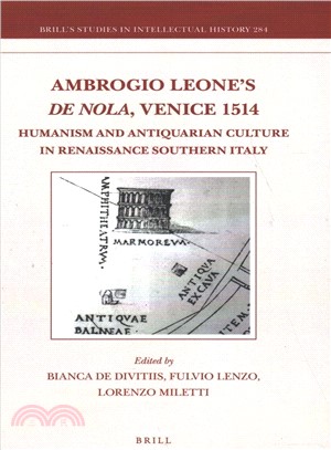
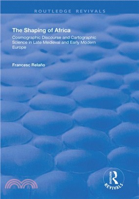
出版日:2018/08/30
作者:Fernando Loffredo (CON);
Eugenio Imbriani (CON);
Stephen Parkin (CON);
Giuliana Vitale (CON);
Bianca De Divitiis (EDT)
出版社:Brill Academic Pub
裝訂:精裝
若需訂購本書,請電洽客服 02-25006600[分機130、131]。
90 折
優惠價:
9
1642
無庫存

90 折
若需訂購本書,請電洽客服 02-25006600[分機130、131]。
90 折
優惠價:
9
1357
無庫存

滿額折
優惠價:
1
3420
無庫存
滿額折
優惠價:
1
3150
無庫存
若需訂購本書,請電洽客服 02-25006600[分機130、131]。

90 折
若需訂購本書,請電洽客服 02-25006600[分機130、131]。
90 折

滿額折
優惠價:
1
3190
無庫存

90 折
若需訂購本書,請電洽客服 02-25006600[分機130、131]。

滿額折
優惠價:
79
6873
無庫存
滿額折
優惠價:
1
531
無庫存
滿額折

滿額折
優惠價:
95
678
無庫存

若需訂購本書,請電洽客服 02-25006600[分機130、131]。

79 折

若需訂購本書,請電洽客服 02-25006600[分機130、131]。

90 折
若需訂購本書,請電洽客服 02-25006600[分機130、131]。

出版日:2017/04/10
作者:Jerry A. Nathanson;
Michael Lanzafama;
Philip Kissam
出版社:Pearson College Div
裝訂:精裝

90 折
優惠價:
9
1701
無庫存

若需訂購本書,請電洽客服 02-25006600[分機130、131]。